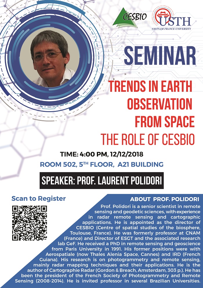
University of Science and Technology of Hanoi (USTH) with the Department of Space and Aeronautics would like to invite lecturers, researchers, experts, students and others to participate in the Seminar “Trends in Earth Observation from Space -The role of CESBIO”, with the attendance of Prof Laurent Polidori, Director of CESBIO, the French leading institute in the field of remote sensing.
Time: 16:00, Wednesday, December 12, 2018
Location: Room 502, 5th Floor, A21 Building, 18 Hoang Quoc Viet, Cau Giay, Ha Noi

With the increasing variety of Earth observation satellite missions, end users must define criteria to make the good choice for their mapping or monitoring projects. If we exclude such criteria as price and acquisition delay to focus on technical criteria based on image characteristics, the most important ones for a given spectral domain are spatial, spectral and temporal resolutions. The impact of these parameters must be studied based on in situ observations in the frame of cal/val experiments and on image simulation strategies.
The evolution of these characteristics over the past decades has offered new perspectives. However, improving one of the resolutions has a technological cost, it is generally achieved at the expense of the others and in some cases it is not so useful. With a wealth of experience in the field of remote sensing and geodesic, Prof Laurent Polidori will introduce clever image processing methods, which can compensate the limitations of the system and avoid the cost of resolution improvement.
CESBIO (Center d’Etudes Spatiales de la BIOsphère) is a joint research institute between the French National Center for Space Studies (CNES), the French National Center for Scientific Research (CNRS), the University of Toulouse III and the Institute of Research for Development (IRD). CESBIO is currently the leading institute in France for scientific research in earth observation. CESBIO is where two earth observation satellites of ESA were produced: SMOS and BIOMASS, and also processed the signal transmitted by these two satellites.
Prof. Laurent Polidori is a senior scientist in remote sensing and geodetic sciences, with experience in radar remote sensing and cartographic applications. After receiving a PhD in remote sensing and geoscience from Paris University, he worked at CNAM, Thales Alenia Space and was invited professor at several Brazilian universities. He has been the president of the French Society of Photogrammetry and Remote Sensing, and also the author of Cartographie Radar (Gordon & Breach, Amsterdam, 303 p.). Prof. Polidori is now holding the post of Director of CESBIO (Toulouse, France).


