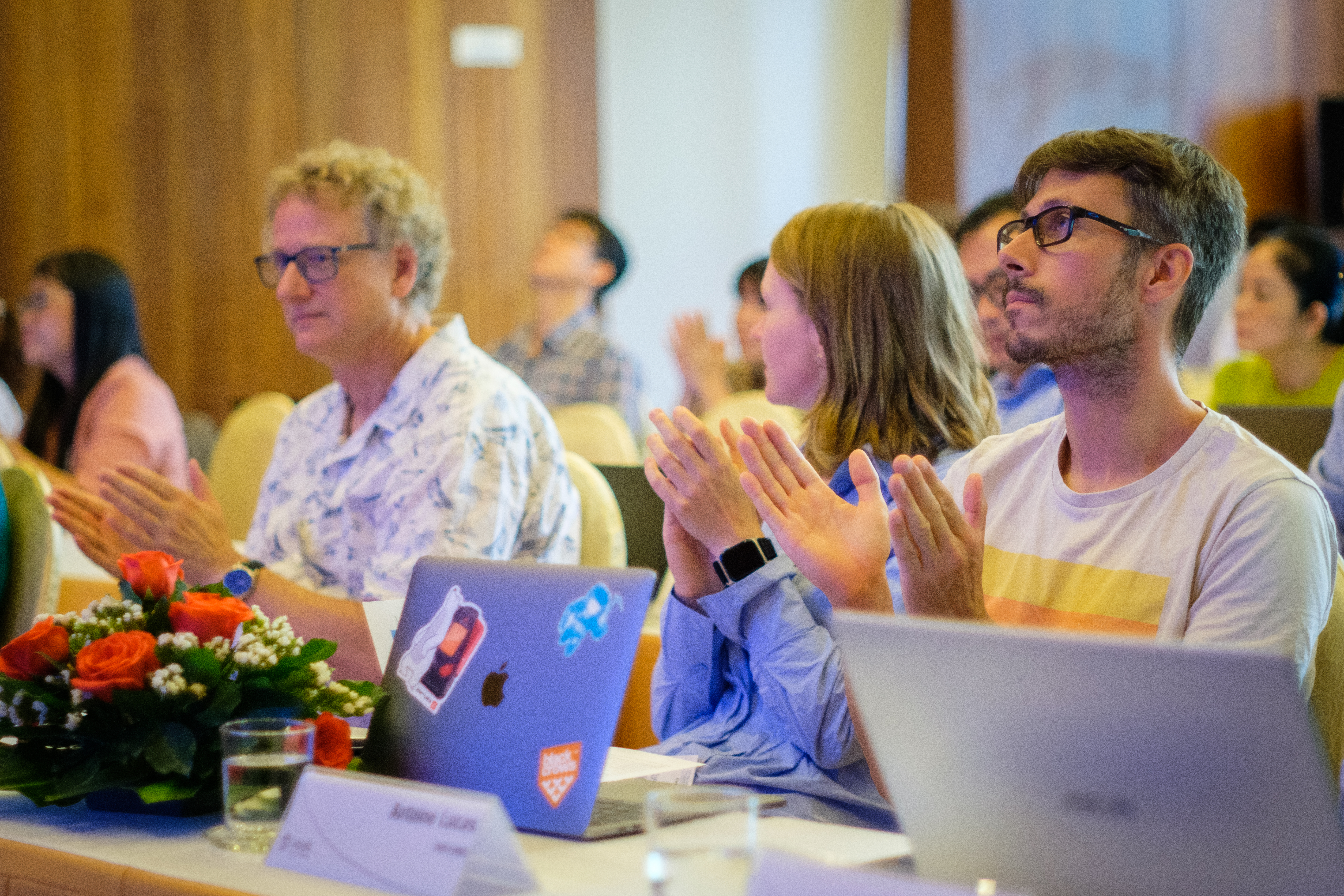
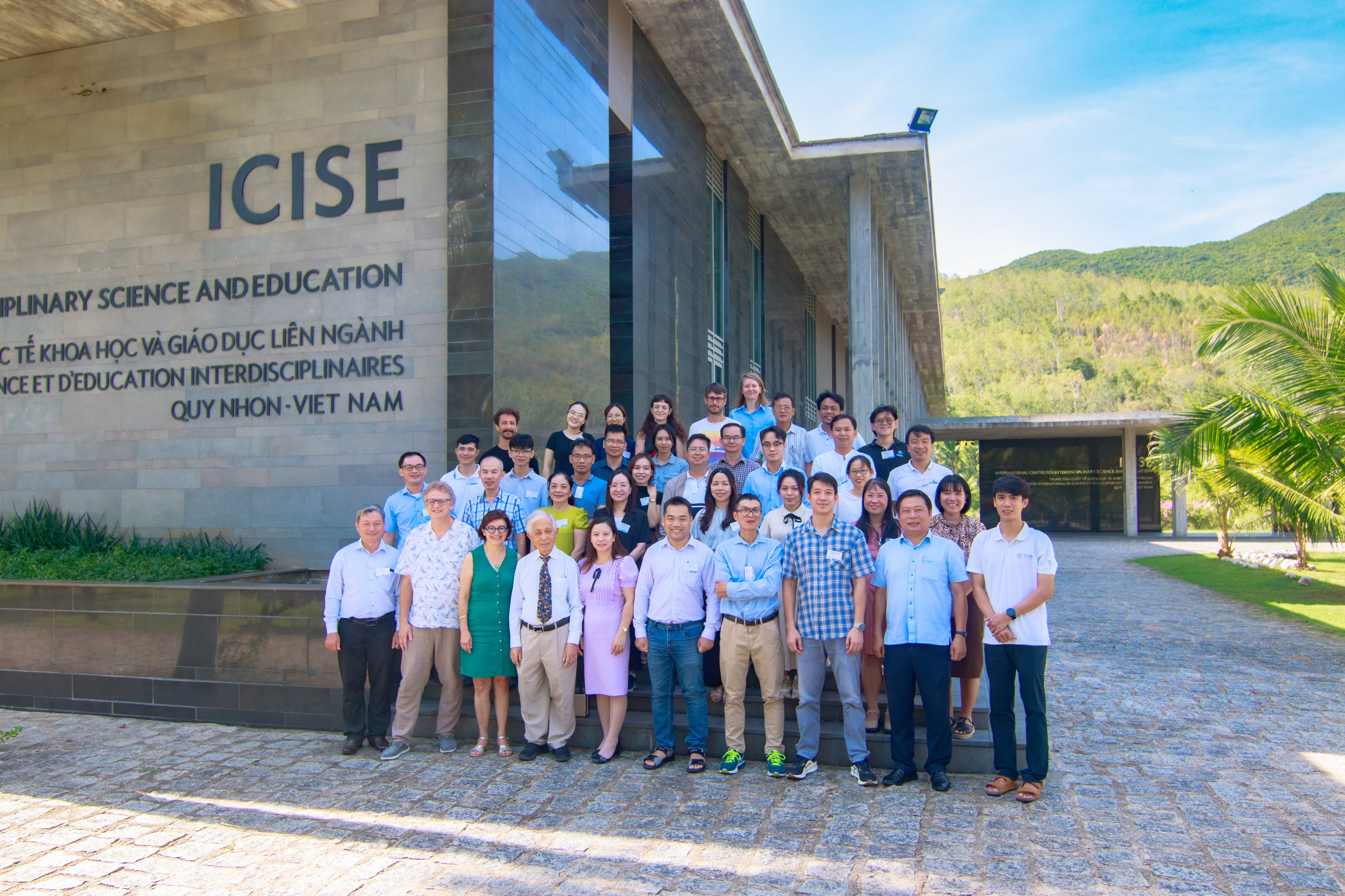
On September 9, 2024, the 4th Vietnam School on Earth Observation (VSEO4) officially opened at the International Center for Interdisciplinary Science and Education (ICSE) in Quy Nhon City, Binh Dinh Province.
This year’s theme, “Using Remote Sensing Data to Create Digital Elevation Models (DEM),” has attracted over 40 scientists, young researchers, and doctoral students from Vietnam, the Philippines, and France.
The event, running from September 9 to 13, aims to provide participants with both foundational knowledge and hands-on experience in using remote sensing technology to create DEMs.
VSEO, an annual event, is organized by the Meeting Vietnam Association, ICISE, the Institute of Earth Physics of Paris (IPGP), Paris Cité University, and the Department of Space and Applications (USTH).
The school’s main goal is to contribute to the training and development of young scientists in Vietnam in the rapidly growing fields of remote sensing and Earth observation.
VSEO4 welcomed a distinguished lineup of reputable scientists, including Prof. Stéphane Jacquemoud from IPGP, Paris Cité University; Dr. Linda Tomasini (CNES); Dr. Ho Tong Minh Dinh from France’s National Institute for Agriculture, Food, and Environment (INRAE); Prof. Le Trung Chon from Ho Chi Minh City University of Natural Resources and Environment; Dr. Antoine Lucas from IPGP, Paris Cité University; and Mr. Jean-Philippe Malet from the School and Observatory of Earth Sciences (EOST) at the Institute of Earth Physics Strasbourg (IPGS).
In recent years, satellite remote sensing has become essential for a variety of applications and research programs in Vietnam. Large-scale data on the Earth’s surface, oceans, and atmosphere, including the regions of Vietnam and Southeast Asia, is being gathered and analyzed to support both scientific research and practical applications.
VSEO4 provided both foundational and advanced training on collecting, processing, and analyzing remote sensing data to develop Digital Elevation Models (DEMs). DEMs are critical terrain data used in a variety of scientific fields, including geomorphology (the science related to the Earth’s surface morphology), vegetation research (agriculture and forestry), defense, hydrology, and disaster management, such as flood and landslide mitigation, as well as urban planning and archaeology. Currently, there are three common remote sensing techniques for building DEMs: Image Correlation, Topographic LiDAR, and Interferometric Synthetic Aperture Radar (InSAR).
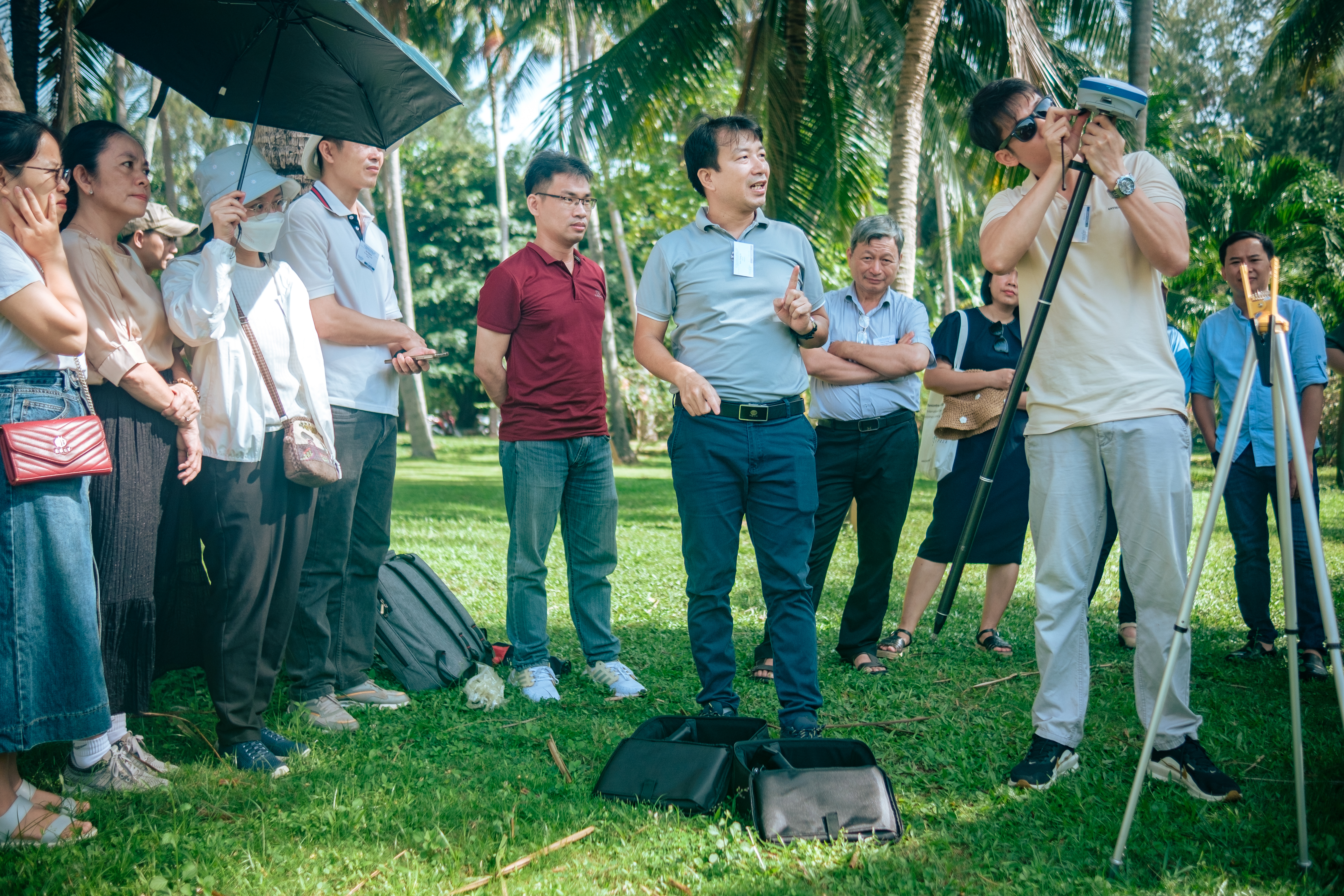
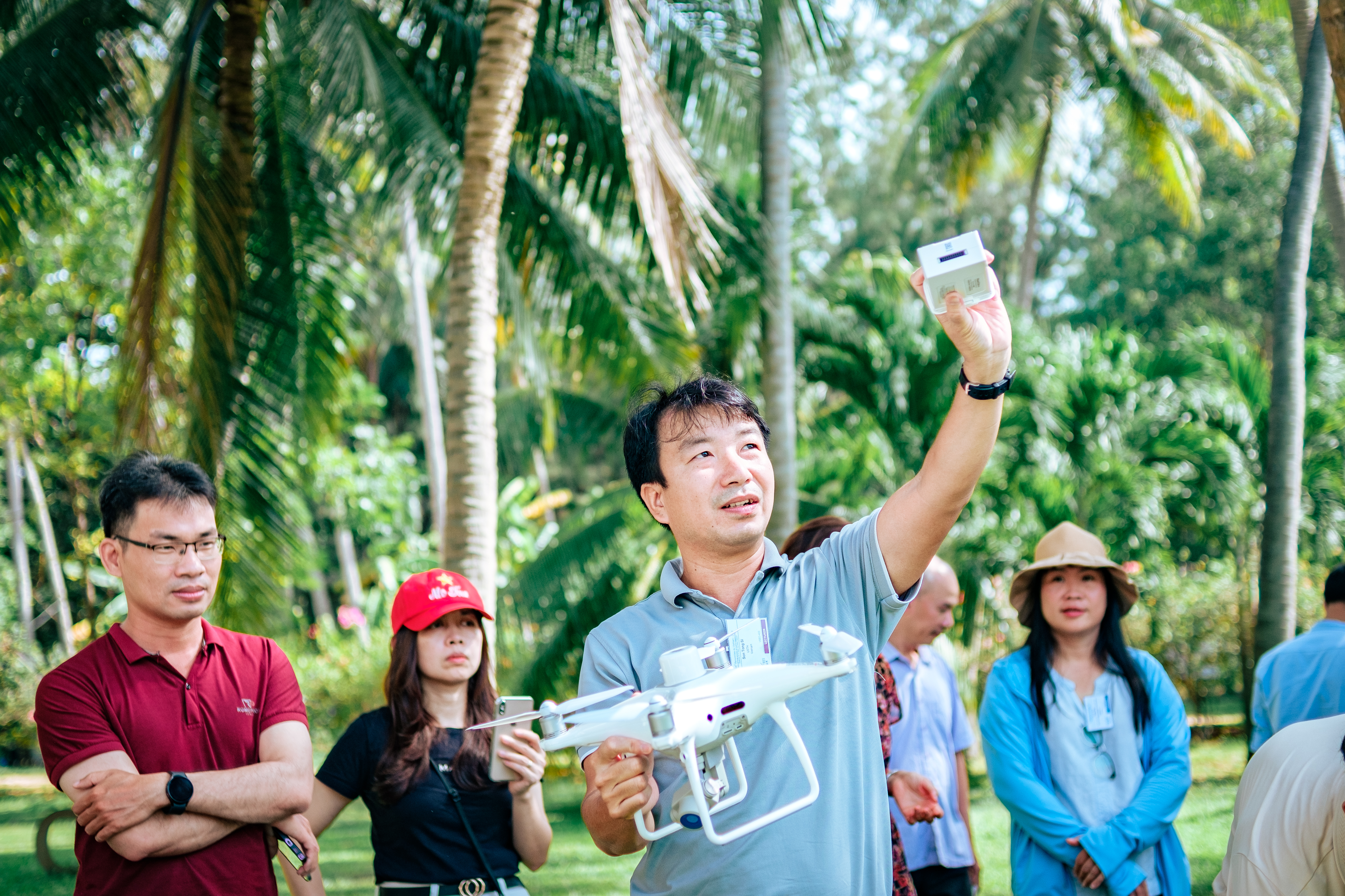
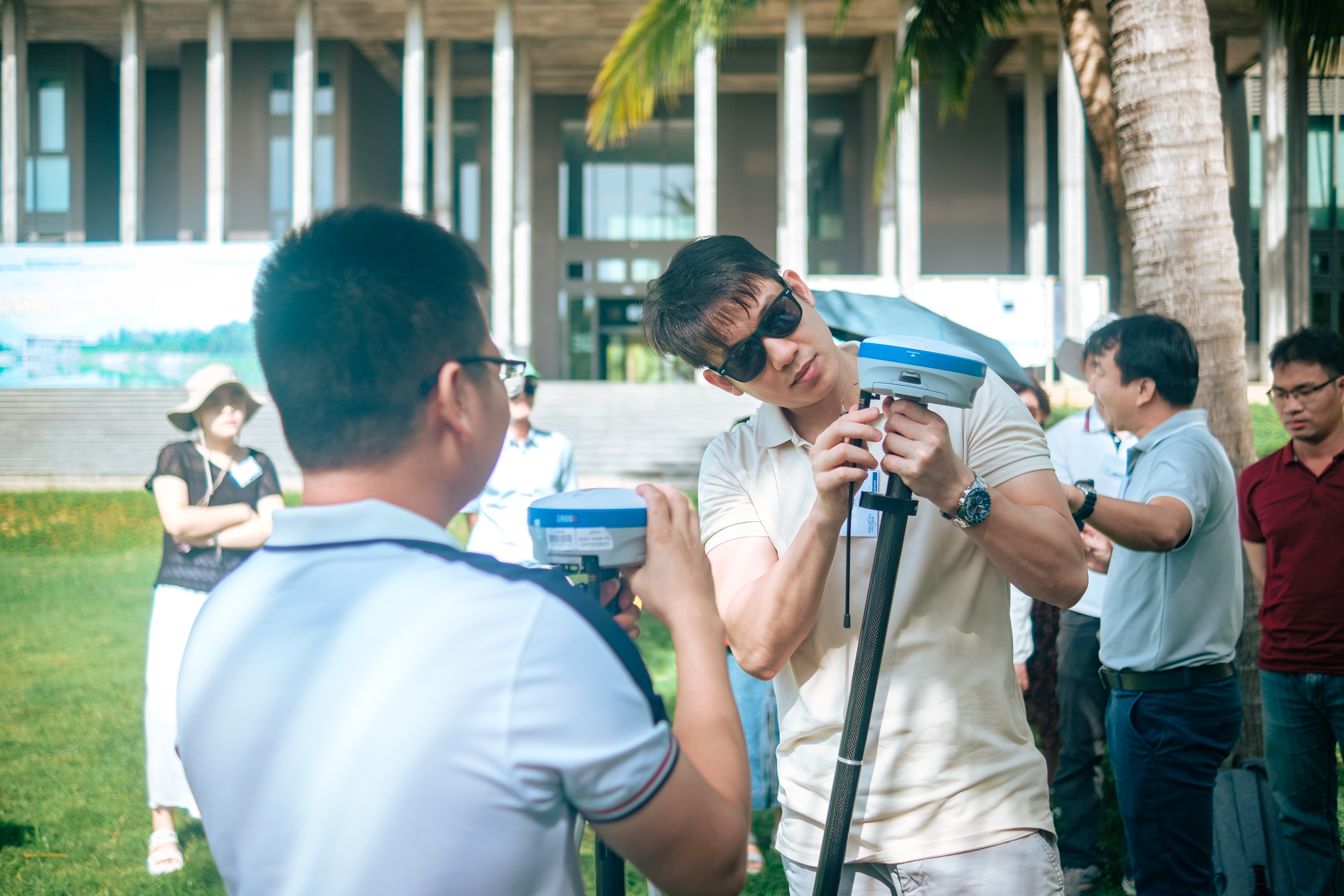
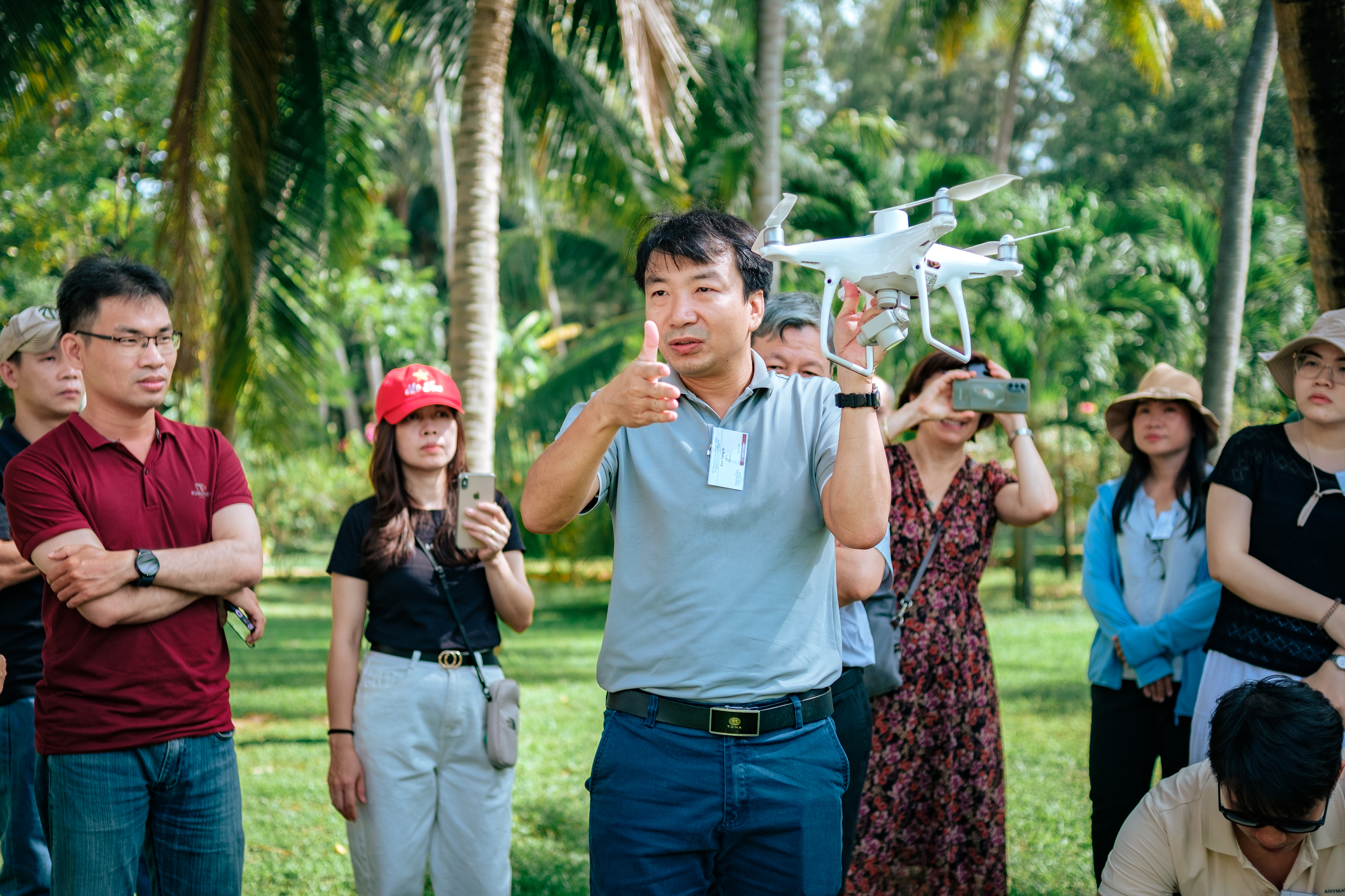
As part of the event, the Department of Space and Applications delivered lectures and hands-on sessions on using Unmanned Aerial Vehicles (UAVs) to capture images for DEM development. UAVs offer flexible imaging options, allowing for data collection at different resolutions and altitudes, as well as access to hard-to-reach areas. This enables the creation of highly accurate DEMs, with precision down to the centimeter level. These models have a wide range of applications, from urban planning and water resource management to landslide assessment, disaster risk evaluation, search and rescue, and climate change adaptation.
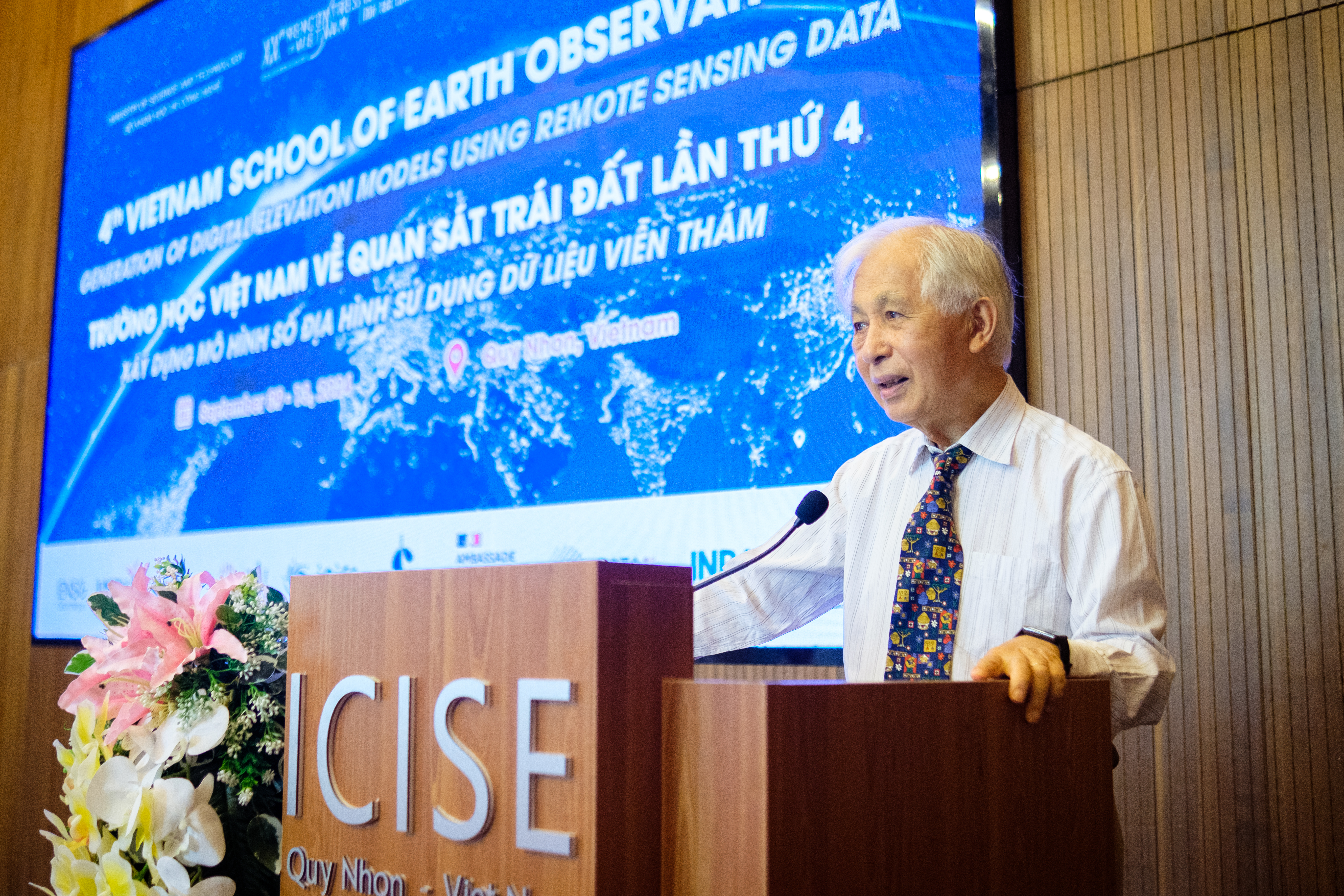
Speaking at the opening ceremony, Prof. Tran Thanh Van, Chairman of the Meeting Vietnam Association and Director of ICISE, highlighted the growing importance of Earth observation and data analysis in modern life. From disaster forecasting to natural resource management and urban planning, remote sensing data plays a crucial role. He expressed hope that the knowledge and skills participants gain at VSEO4 would lay a solid foundation for their future contributions to sustainable development in Vietnam.
First launched in 2018 by a collaboration of French and Vietnamese scientists, VSEO has grown steadily each year, with the Department of Space and Applications of USTH playing a key role as a co-organizer.
USTH hopes that through initiatives like VSEO, young researchers in Vietnam will have greater opportunities to learn from leading experts in remote sensing and Earth observation, thereby helping to cultivate the next generation of scientists for Vietnam.
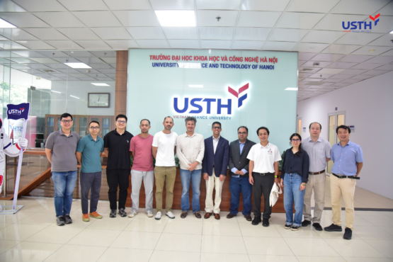
Some photos of USTH researchers at the event:
